DONAUINSEL PART 3

According to Google Maps, it would take over 4 hours to walk the 21+ kilometres (13+ miles) of the Danube Island (Donauinsel), much longer, if like me, you don’t keep only to paths and will stop to take pictures and explore. It’s unlikely that I would ever walk the full length in one go as it took me 4 hours just to cover a section at the southerly end.


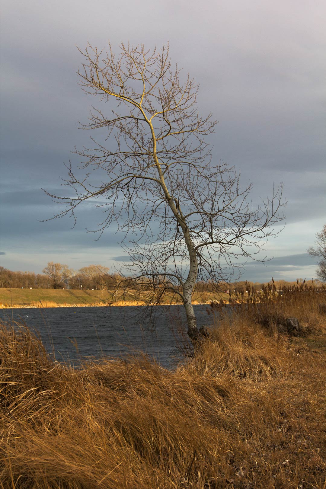
The island is a long narrow strip of land formed from the soil excavated to create a canal (Neu Donau) that runs parallel to the Danube river as part of Vienna’s flood defences. Work commenced in 1970, which means the naturalised vegetation is not yet 50 years old. The resulting landscape has a similar atmosphere to Erh0lungsgebiet Wienerberg, (which I covered in a previous post) but with one notable exception: the presence of beaver colonies on the island has resulted some oddly-angled trees, gnawed-at trunks and waterways strewn with logs used to build their lodges.

It was exceedingly mild weather yesterday, but being February, it was completely dark by the time I reached the final bridge that crosses the New Danube (Neu Donau) near some refineries. Thankfully I was able to catch a bus (with seconds to spare) from this rather isolated spot and save my legs from a very long walk in darkness.


